Published on Tuesday, 19 December 2023 at 3:33:00 PM
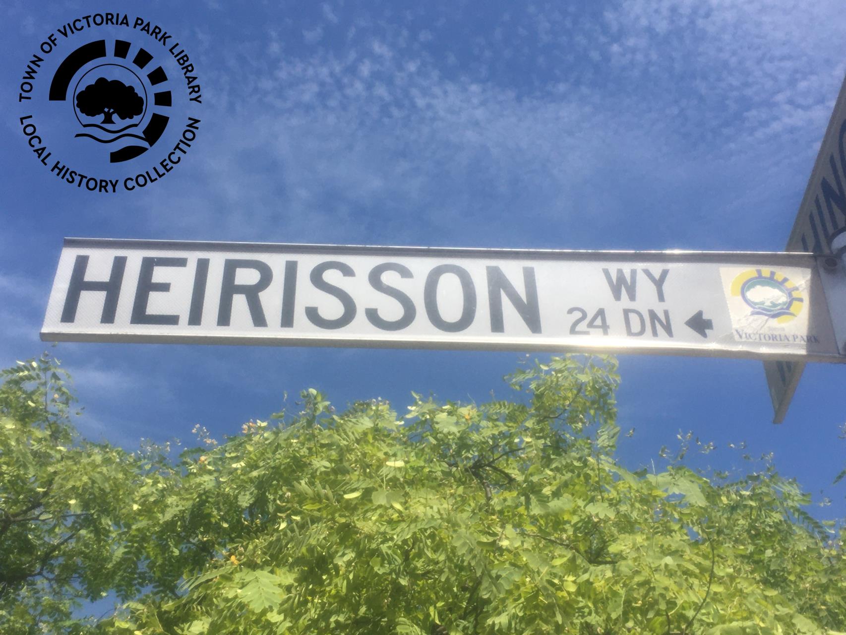
Welcome to #TimeWarpTuesday and a new instalment in our series on the Nomenclature of Victoria Park. This week we are looking at exactly how Heirisson Way got its name.
Heirisson Way, Victoria Park
Heirisson Way in Victoria Park is named after Heirisson Island. Although not easy to spot now as the houses have been built quite high around the street, but the developers proposed this name as they believed “the development will have a breathtaking view of the City as well as Heirisson Island. …Naming the road after Heirisson Island will further recognise it’s presence of[sic] this locality” (Ordinary Council Minutes of the Town of Victoria Park, 24 October 1995, p. 9).
During the subdivision of the former Holdfast Barracks site at 22 (Lot 1) Canning Highway, Victoria Park, a subdivisional road was planned to run from Washington Street through to Armagh Street. Ron Jee and Associates Architects Pty Ltd the developers suggested three potential names for the new road: Astrid Way; Raphael Way, and Heirisson Avenue.
Astrid Way – a suggested name
This name was suggested because the plans for the site were inspired by “Astrid Estate” in Singapore, it being “a very high quality and prestigious development and is often used as a yardstick for quality;
“the developer is desirous of adopting the name ‘Astrid’ as a reflection of the high quality of its development. It is hoped that the name will engender a high sense of pride especially to those foreign owners who had purchased more than half of the apartments and townhouses” (ibid., p. 9)
Raphael Way – a suggested name
“The site is located on the boundary of the Raphael precinct which was named after the local Raphael Park. The design of the buildings had closely followed the Design Guidelines for the Raphael Park precinct. Besides its architectural style, this name will unmistakably identify the public road with the locality it is in.” (ibid., p. 9).
The Decision…
The Town of Victoria Park Council resolved to support the nomination of Heirisson Way, having suggested the more appropriate suffix of ‘Way’, as the road is an access way between two streets.
A recommendation was submitted to the 5 September 1995 Elected Members Briefing Session. Council supported the recommendation to name the newly created road Heirisson Way, which was formalised in Resolution 660/1995 at the 24 October 1995 Ordinary Council Meeting.
In the aerial photograph of Heirisson Island, the keen eye will be able to spot a collection of red rooves and townhouses of to the left of the photograph, which in the middle of is Heirisson Way.
We hope you have enjoyed this look at the history of Heirisson Way in Victoria Park. Do you have a picture or story that relates to the area that you would like to share with us? Perhaps you live in one of the townhouses or apartments on Heirisson Way and have a photograph of the view over to Heirisson Island? If you do, please consider sharing it with us, we would love to add it to the Local History Collection here at the Town of Victoria Park Library so we can preserve our story for future generations. We can scan and or photograph and return originals. Please reach out and book a time to talk with the Local History Coordinator at the Library, telephone: 08 9373 5500 or email: vicparklibrary@vicpark.wa.gov.au.
#LoveVicPark #LocalHistoryCollection #NomenclatureVictoriaPark

Heirisson Island, by Moondyne - Own work, CC BY-SA 4.0,
https://commons.wikimedia.org/w/index.php?curid=93300585

Heirisson Way (sign), Victoria Park, 5 December 2023
Local History Collection, Town of Victoria Park Library Service
Back to All News